Cities are increasing their population due to the massive migration and urbanisation. In fact, a report from the United Nations stated that the percentage of world’s population that lives in urban areas is expected to increase from 54% in 2014 to 66% by 2050.
For this reason, public authorities are worried about the impact that the increase of people could have in the urban plan- ning of metropolises. The Internet of Things is enabling the detection of the most regular routes; volume of cars, bicycles or pedestrians and most crowded streets passing times.
Dimitris Kyritsis, Surveying & Geomatics engineer from TU Delft, has developed a research project in the city of Dordrecht (The Netherlands) to get his MSc Thesis. Eight IoT Gateways Meshlium have been placed in the cross sections of several streets to monitor pedestrians, bicyclists and vehicles.
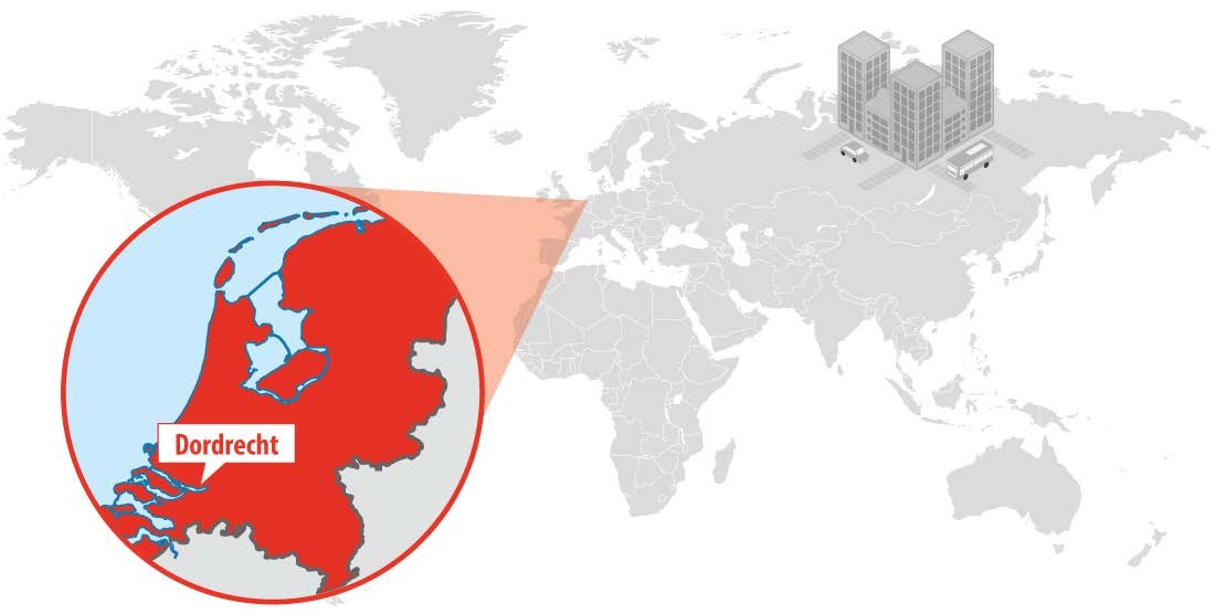
This research has been carried out for a period of one month, between the middle of September 2016 until the middle of October 2016, in order to detect the road modality and occupancy patterns as a way to enhance the urban planning in the Dutch city.
Real-time monitoring in Dordrecht city centre
The Meshlium Scanners have been installed in the downtown of Dordrecht, between the city centre and the central railway station. The main reason is that the majority of the shops and offices of the city are located in this area.

Moreover, it is next to the central station, which comprises the basic means of transport to and from nearby cities like Rotterdam. Dordrecht is mainly a residential area so there are significant changes in the movement flows and occupancy patterns during the day when citizens go to and return from their jobs.
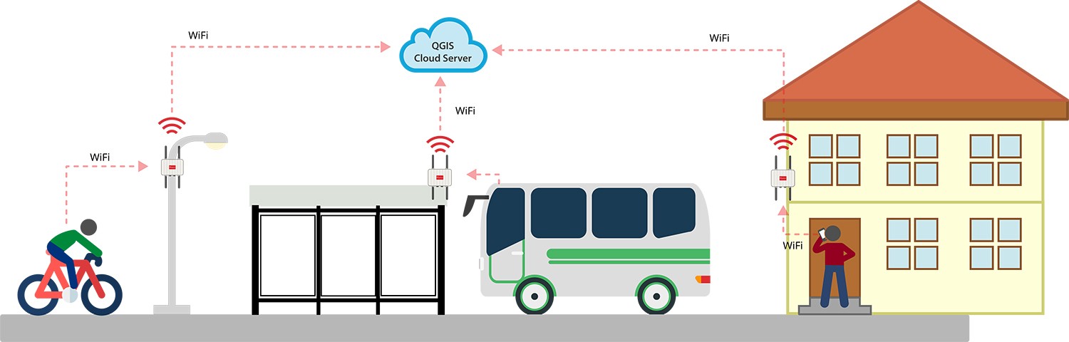
Meshlium detects the MAC address of smartphones, hands free and cars by scanning Wi-Fi signals. The IoT Gateways have been synchronised by the use of an external digital device (digital clock). Data was downloaded periodically by the use of a lap- top through Wi-Fi connection to the local database of each sensor in order to avoid overloading problems.
The relevant employees of the Municipality of Dordrecht were totally satisfied with the abilities of the system and the information that it can provide to be used for various purposes such as pre and post processing tool of urban development planning, traffic monitoring system, crowd control, facility usage as well as marketing purposes”, stated Dimitris Kyritsis, Surveying & Geomatics engineer from TU Delft.

For the collection of data, the Meshlium Manager System of Libelium has been used to access to the local database of each sensor and download the stored data. Postgres has been the basic tool for the data storage. Afterward, SQL queries and python script have been used for the analysis part while QGIS has allowed the visualisation of the results with flow and density maps.
Comment on this article below or via Twitter: @IoTNow OR @jcIoTnow