In the ever-expanding world of the Internet of Things (IoT), no industry is left untouched, and the growth potential shows no sign of slowing down. However, the use of IoT for geospatial applications is also growing, says Jean-Francois Monteil, senior solution engineer, Talend.
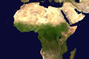
According to a report by MarketsandMarkets, the global geospatial analytics market is expected to grow from $67.4 billion (€61.75 billion) in 2022 to $119.9 billion (€109.84 billion) by 2027, at a CAGR of 12.2%. A study by IoT Analytics found that the number of IoT devices in use for geospatial applications is expected to reach 3.5 billion by 2023.
In a survey conducted by Geospatial World, 67% of respondents said they were using IoT technology in their geospatial projects. The same survey found that the most common applications for IoT in geospatial projects were asset tracking and management, remote monitoring and control, and environmental monitoring.
Overall, these statistics suggest that IoT technology is increasingly being used in the geospatial field and that increasing IoT connectivity is generating a goldmine of data for businesses that they should not be wasting.
The business value of geospatial data
Geospatial data has various use cases for businesses, including mapping and site selection, supply chain planning, competitive intelligence, and risk assessment. However, the most common use cases involve location-based tracking to monitor assets, confirm object location, and make necessary changes based on proximity.
This is especially relevant in fleet management, theft prevention, and enhancing customer experience by identifying points of interest near them. Geospatial data can also improve IoT device functionality, such as geo-fencing to detect movement in or out of specific areas and automatically alert businesses or customers. Integrating geospatial data with IoT sensor data can provide insights on customer behaviour and product/service demand, informing decisions on optimal locations for new shops and efficient delivery routes.
Real-time geospatial data can optimise supply chains, reduce delivery times, and improve productivity, ultimately enhancing customer satisfaction. Location-based marketing is another use case where businesses can leverage geospatial data to send promotions or discount codes to customers near their shop locations.
Location intelligence unlocks fresh business opportunities
Having a more detailed insight into and knowledge of specific areas is critical to businesses that want to grow. Geospatial data offers businesses the insights needed to consider moving into new geographies, either a physical location (new offices or perhaps the opening of a new shop) or targeting customers in another area.
Sustainable development is another fresh business opportunity that geospatial data could support alongside improving our response to climate change. Using intelligent mapping, via geospatial data, can support “green” net zero and other environmental initiatives including, but not limited to, providing renewable energy providers with the best places to set up wind and solar farms, the transport industry on where EV charging points are needed to enable green mobility, agricultural businesses with forewarnings of and alerts to unusual weather events and logistic and supply chain companies with optimised routes to reduce their environmental footprint.
Investors are becoming ever more attracted to businesses that make sustainability a priority and socially conscious companies with an ESG plan in place outperform those that do not have one.
Geospatial data challenges
As with connected IoT devices, collecting and managing the volume of geospatial data available is going to be a challenge. Traditional in-house solutions may not have enough storage space or computing power so using a cloud data lake and/or a cloud data warehouse is advised.
Not only do cloud-based solutions offer virtually unlimited space for storage, they also offer easier integration of data from disparate sources. Having a unified data structure in the cloud can lead to better outcomes for businesses thanks to the easier incorporation of data sets collected outside the company, greater data consistency, improved organisational alignment for stakeholders and reducing data acquisition development costs.
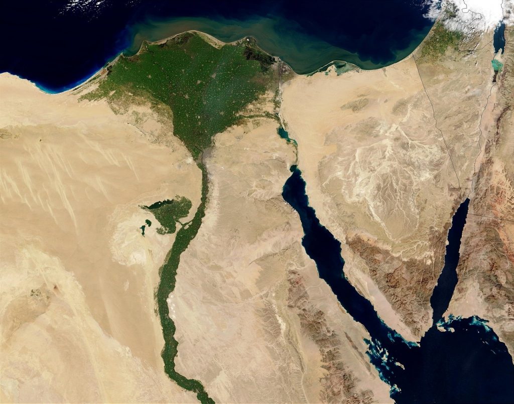
Working example of geospatial data handling in Talend on a railway use case using French railway operator (SNCF) open data
Picture this: A train is on the H line near Paris, and the controller wants to know exactly when it reaches important points like a level crossing, tunnel, or station, in real-time within a restricted perimeter of the train’s head end. Luckily, France’s national railway company, SNCF, provides geographical files with the exact locations within its infrastructure.
But how is all this information processed quickly and efficiently? That’s where Talend came in a scalable solution with Remote Engines that can be organised into clusters. For this example, Google PubSub was used to communicate the train’s position and generate alert messages.
To make sense of the geospatial data, the indexing capabilities of MongoDB were used, but other solutions like Postgres SQL or Snowflake can do the job too. MongoDB is a popular NoSQL document-oriented database program that stores data in flexible, JSON-like documents with dynamic schemas and is widely used in modern web applications.
By loading all SNCF infrastructure in GeoJSON format into MongoDB, the train’s proximity to important landmarks and real-time alerts can be generated.
GeoJSON shapes are loaded in MongoDB that represent important locations SNCF wants to detect and a special index is created find them quickly. Talend helps as can load bulk data and create a special index.
Talend provides tools to speed up geolocation projects, including real-time management, data mapping and formatting, and support for fast geospatial calculations in databases like MongoDB. Additionally, Talend Pipeline Designer can be used to stream data to Big Query.

Conclusion
Driven by increasing demand for connected devices and the adoption of IoT in various industries, spending on IoT solutions will only increase as industries such as manufacturing, transportation, and utilities lead the way in IoT adoption, particularly for applications such as asset tracking, remote monitoring, and environmental monitoring. The growth of IoT in agriculture though is also expected to drive further adoption of geospatial analytics in the environmental monitoring field.
As closely tied as IoT and geospatial data are, the combination of these two technologies could lead to significant improvements in a wide range of industries, thanks to IoT generating the geospatial data that is then used to enhance the IoT functionality.
The author is Jean-Francois Monteil, senior solution engineer, Talend.
Comment on this article below or via Twitter: @IoTNow_OR @jcIoTnow