ESRI

Pollen Systems helps farms to deliver better crop yield, quality with satellite, mobile data
Pollen Systems is an Esri business partner. At Esri’s partner and developer conferences, Esri Startup Partner Pollen Systems demonstrated PrecisionView Mobile, built on the new ArcGIS Maps SDK for Swift.
Read moreUrsa Space debuts Python toolbox API on Esri ArcGIS Pro software
Ithaca, New York, United States – Ursa Space Systems, a satellite-analytics-as-a-service provider, has announced the release of a Python toolbox for satellite analytic and data ordering within Esri ArcGIS Pro,
Read moreEsri joins Overture Maps Foundation to help build interoperable open map data
Redlands, California, United States. 06 February 2023 – In an increasingly digital and automated world, geospatial data plays a critical role in understanding the physical environment and powering the next
Read moreEsri collaborates with RB Rail AS to build sustainable rail infrastructure in EU
Redlands, California – The 870 kilometres of Rail Baltica are divided into several sections across each of the three Baltic countries: Estonia, Latvia, and Lithuania. An ongoing electric rail infrastructure
Read more
Esri integrates LightBox data to extend geocoding of Canadian content
Redlands, California. 2 June 2022 – To find, map and analyse other forms of valuable geospatial information, industries need the X and Y coordinates of place names. Users in many industries
Read more
Infotech partners with Cultivate Geospatial Solutions to develop GIS capabilities that eliminate gaps in digital project delivery data lifecycle
Gainesville, USA. 15 March 2022 – Infotech, a specialist in infrastructure construction software solutions, announced a partnership with Cultivate Geospatial Solutions (CGS) to enhance the incorporation of Geographic Information Systems
Read more
City ‘skyway travel’ can beat emissions and congestion, NASA is told
NASA scientists and engineers have heard how city airspace can counter ground level congestion and carbon emissions, now made worse by booming online orders and deliveries.
Read more
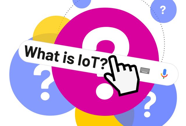
Geospatial technology will be at the heart of the IoT Big Data analysis
In an ever more connected world, Esri a global provider of geo-spatial and analytical software is about to embark on a new journey to help organisations understand and analyse vast
Read more
Smart City Nervous System created by Huawei for more than 100 cities with leading new ICT
Huawei is participating in the Smart City Expo World Congress 2017 (SCEWC) in Barcelona under the theme of “Leading New ICT, Creating a Smart City Nervous System”. This highlights how
Read moreLibelium enables smart logistics offering realtime tracking and sensing of goods
Libelium has released new Smart Logistics modules for Waspmote sensor nodes that provide position, sensing and transmission capabilities to enable real time tracking, via 3G, GPS and GPRS. These new
Read more